The most beautiful sunsets
- Day
- June to October
The Golden Hour: The Most Beautiful Sunset Views in the french alps
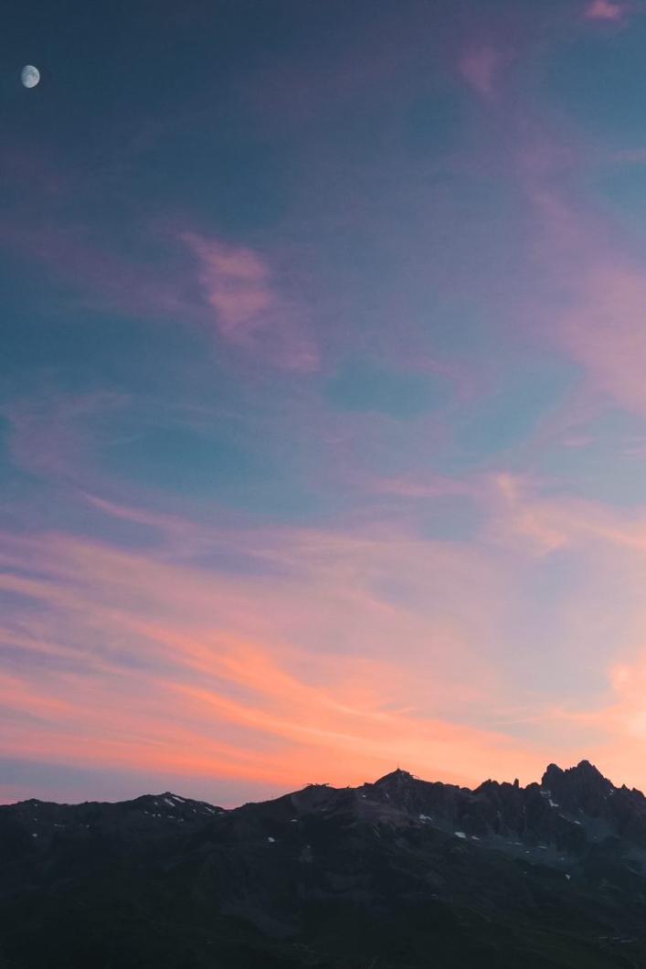
There's something magical about a sunset. The changing colors, the stretching shadows, and the sense of calm that settles in. It's a moment when the world seems to slow down and we can connect with the natural beauty around us. On this page, we'll take you through some of the best places to enjoy a spectacular sunset in the French Alps.
POINTE DE LA FENÊTRE (2268M) LOOP VIA THE VALLEY OF ENCOMBRES
Sunset is one of the most magical moments in the mountains, when the sky takes on a warm hue and the peaks light up. The loop leading to Pointe de la Fenêtre offers exceptional panoramic views to enjoy this natural spectacle. Find out why this route is ideal for sunset viewing in the French Alps, and how to get there.
Why is Pointe de la Fenêtre ideal for sunsets?
Elevated position: At 2268 metres, Pointe de la Fenêtre offers unobstructed views of the surrounding valleys and peaks, guaranteeing a panoramic sunset perspective.
Orientation: The site is well oriented to watch the sun descend behind the mountains, creating spectacular lighting effects.
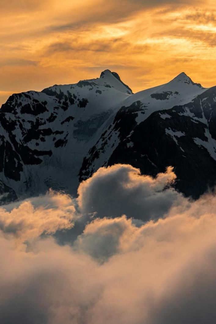
- Stunning colors: At the summit, red, orange and gold tones illuminate the surrounding peaks, transforming the landscape into a living tableau.
- Calm and Tranquility: Pointe de la Fenêtre is a quiet spot, far from the hustle and bustle of the resorts, where you can enjoy the serenity of the moment as the sun sets.
- Ideal moment for photography: The soft light of twilight creates perfect conditions for capturing memorable images.

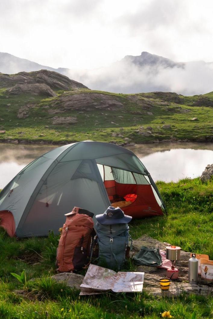
The trail is easy and enjoyable, offering the opportunity to walk along the ridges, which is very nice. There are several viewpoints along the way, and it is a perfect place for bivouacing. Since it is not very crowded, the atmosphere is relaxed. As a bonus, the view of the Pointe du Daillait is magnificent.
How to get to Pointe de la Fenêtre
Departure from Saint-Martin de Belleville:
- Turn right towards Le Châtelard.
- Continue towards Vallée des Encombres (follow signs).
- After 1.6 km from Le Châtelard, there's a parking area in the Vallée des Encombres (Lieu-dit Les Frachettes).
Ascent to Pointe de la Fenêtre:
- The trail begins in the forest and winds its way up to Lachat.
- At 1840m, the panorama opens up to the surrounding valleys and peaks.
- Follow the alpine pasture road to the hamlet of Lachat (2000m), then take the track up to Pointe de la Fenêtre.
- Leave the track and climb off-piste to Pointe de la Fenêtre.
Return to the parking lot:
- Descend towards the Col de la Fenêtre, avoiding rocky areas and steep slopes.
- At 2131m, rejoin the trail and follow it to the Col de la Fenêtre.
- Then descend to Lachat and follow the path into the Vallée des Encombres.
- At 1700m, turn right towards Les Priots.
- Pass through the village of Les Priots and follow the signs for Les Frachettes back to the parking lot.

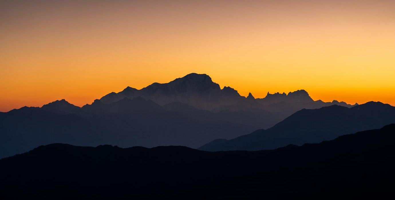
From the Pointe de la Fenêtre, you can see many mountain ranges on the horizon. In the evening, the different hues on the mountains create an layered effect on your photos, making the scenery even more captivating.
With these tips and this itinerary, you're ready for a magical experience at the summit of Pointe de la Fenêtre, where nature offers one of its most beautiful spectacles. Don't miss this rendez-vous with the sunset in Les 3 Vallées!
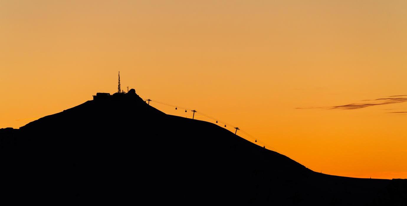
POINTE DE LA MASSE FROM THE CIRCUIT DES LACS
Les 3 Vallées offers spectacular views and unique experiences, and the downhill hike from Pointe de la Masse via the Circuit des Lacs is one of the best routes for enjoying the sunset in the French Alps. This route offers breathtaking scenery, peaceful lakes and a high point at 2804 meters from which the sunset is simply magical.
Directions to Pointe de la Masse:
Departure: Take the Pointe de la Masse gondola to the summit.
Hiking characteristics:
- Duration: Approx. 2 hours 40 minutes
- Distance: 8.29 km
- Elevation gain: 118 m
- Negative elevation gain: 1170 m
- Difficulty: Medium
Descent to Circuit des Lacs:
- Turn left to descend to Lac Longet.
- Take the left-hand path to Lac Noir.
- Go around Lac Noir to the left to reach Col de la Bache.
- Descend on sight to Lac Crintallia (no marked path, but easy in dry weather).
- Continue downhill to the Château Philibert crossroads.
- Take the right-hand path and follow the switchbacks to Ruisseau des Enverses.
- Cross the creek and continue to the parking area for the Pointe de la Masse cable-car lower station.
Why Pointe de la Masse is ideal for sunsets:
- High altitude: At 2804 meters, Pointe de la Masse offers panoramic views of the surrounding valleys and mountains, providing magnificent colors at sunset.
- Perfect orientation: The summit is oriented to capture the warm hues of the setting sun, creating spectacular contrasts between sky and mountains.
- Lake views: On the way down, you'll enjoy breathtaking views of several lakes, adding diversity to your sunset experience.
- Peace and serenity: The summit is often less crowded than other sites, allowing you to enjoy the sunset in peace and quiet.
Take advantage of this unique hike to discover the beauty of Les 3 Vallées and enjoy an unforgettable sunset at Pointe de la Masse.
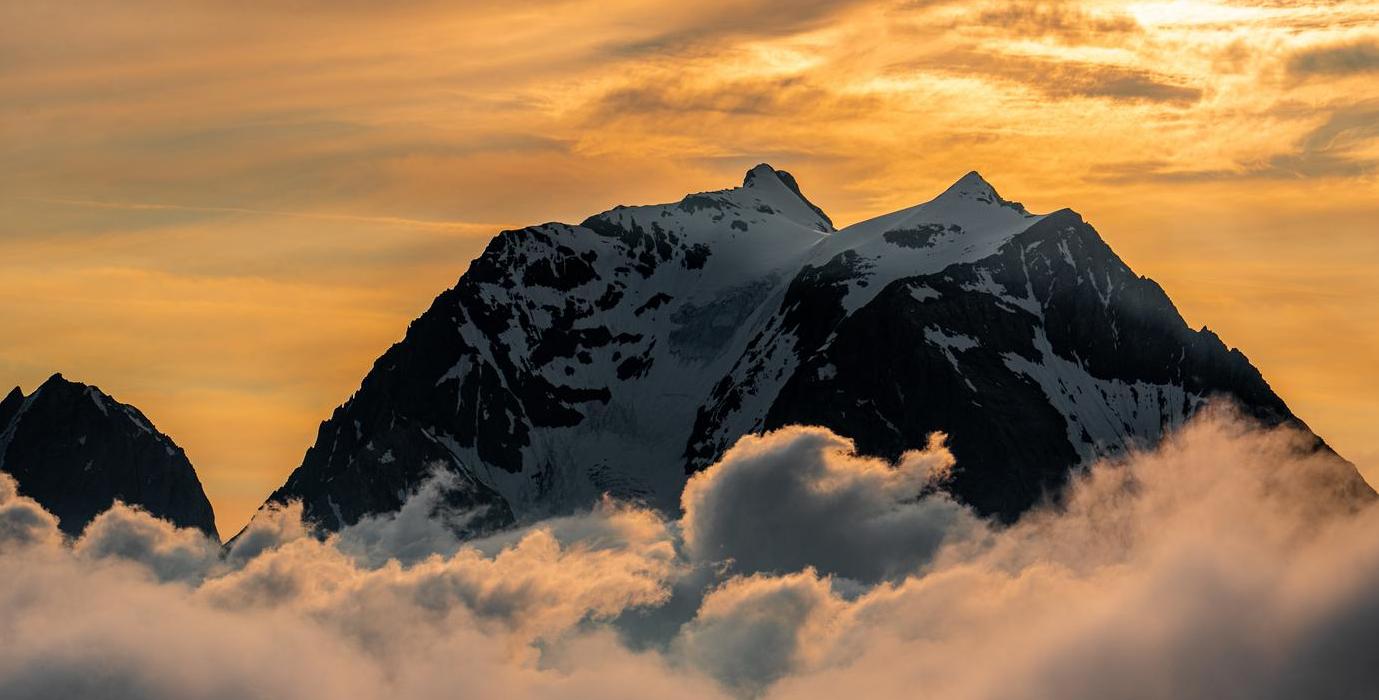
LE PETIT MONT BLANC
Nothing beats a sunset with a 360-degree panorama of the Alpine peaks. At Le Petit Mont Blanc, you'll experience a unique moment with breathtaking views of the Vanoise glaciers and Mont Blanc. Here's everything you need to know to reach this magical viewpoint and enjoy the sunset in the French Alps.
Why Petit Mont Blanc is ideal for sunsets ?
- 360° panorama: From the summit of Petit Mont Blanc, you have a spectacular view of the Vanoise glaciers, Mont Blanc and the surrounding mountains.
- White gypsum: The gypsum rock that covers the summit gives the impression of walking on snow, adding a magical touch to the sunset experience.
- Unique place: This summit takes its name from its rounded shape, reminiscent of Mont Blanc, offering a fascinating environment in which to enjoy the sunset.

At sunrise and sunset, Grande Casse and its glaciers are adorned with pink hues. In the morning, if you're lucky, you might even see a sea of clouds. The view is always spectacular, with exceptional panoramic views of the Vanoise glaciers, and even the majestic Mont Blanc from its Italian side. What's more, this spot remains little frequented, adding to its appeal.
Itinerary to reach the Petit Mont Blanc:
Departure from Courchevel Moriond:
- By shuttle (line H), get off at the "Zénith" stop, then walk to the Belvedere.
- By car, turn left at the first traffic circle when you reach Courchevel Moriond. Drive up several hairpins and continue along the Belvedere road to the large information panel, where you'll find parking facilities.
Hiking features:
- Average time: 7h30
- Distance: 20.2 km (round trip)
- Ascent: 970 m
- Negative altitude difference: 970 m
- Maximum altitude: 2680 m
- Difficulty: Very difficult
- Marked itinerary: Yes
With this itinerary, you're ready for an unforgettable experience at the summit of Petit Mont Blanc. Enjoy the spectacular sunset and let yourself be swept away by the beauty of Les 3 Vallées. Don't miss this exceptional moment that will give you memories to last a lifetime.
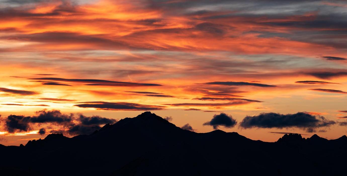
LA DENT DU VILLARD
If you're looking for a place that combines adventure, breathtaking views and spectacular sunsets, the Dent du Villard is your ideal destination. Located to the east of Courchevel 1550 above Lac de la Rosière, this white gypsum mountain offers a unique experience thanks to its stunning geological formations and breathtaking panoramas. Follow this itinerary to reach the summit and enjoy an unforgettable sunset in the French Alps.
Why the Dent du Villard is ideal for sunsets ?
- Panoramic views: The summit offers spectacular views of the Alps, Mont Blanc, and the surrounding valleys.
- Unique geological formations: Gypsum dissolution craters create a unique landscape that makes for an impressive traverse.
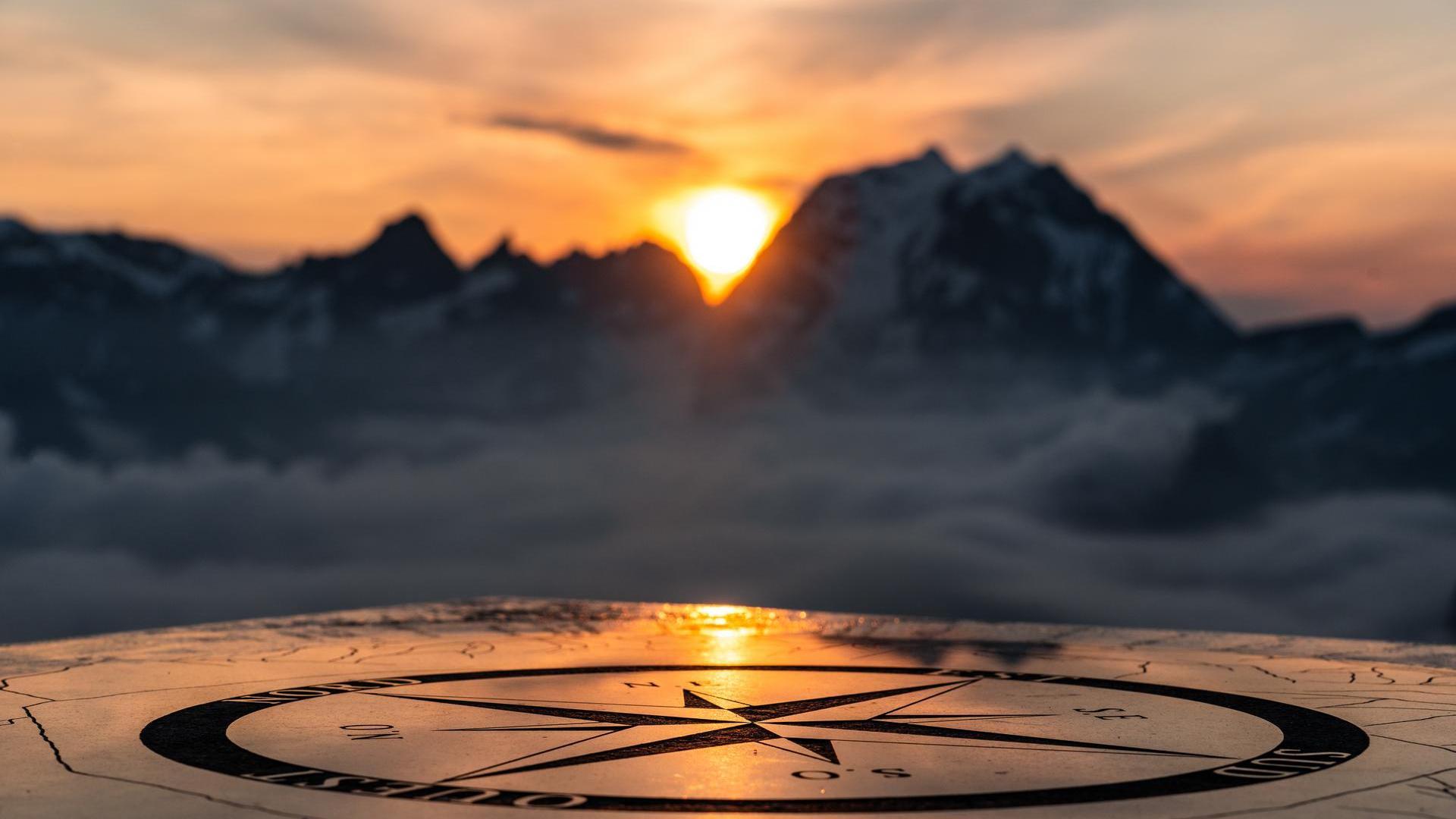
- Orientation table: At the summit, you can identify the various peaks thanks to the orientation table, making the sunset even more memorable.
- Serenity: Away from the crowds, this is the ideal spot to enjoy the sunset in complete tranquillity.
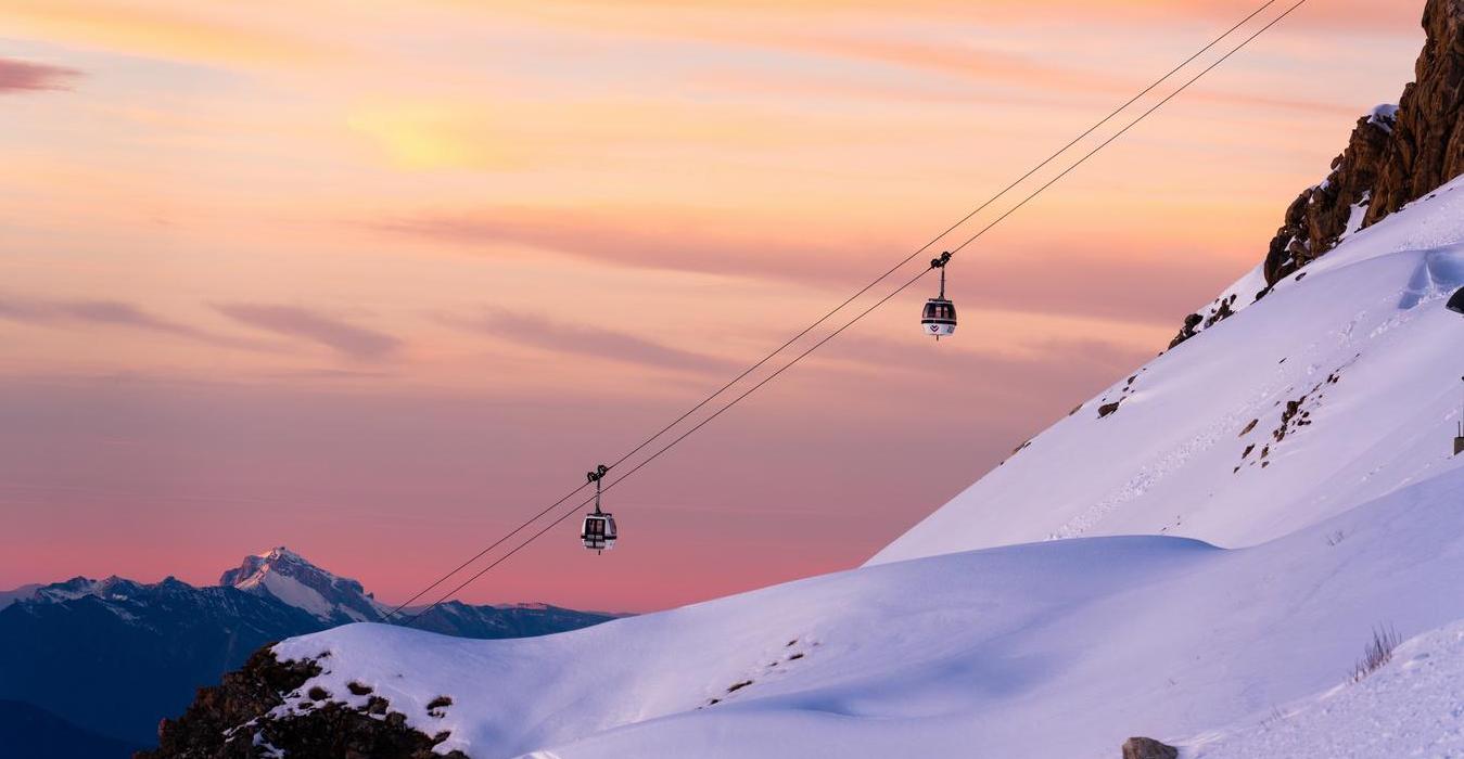
Itinerary to reach the Dent du Villard
Departure from the Lac de la Rosière parking lot:
- From Courchevel Moriond, take the route du Bélvédère, then a small road to the left as you round a bend towards Lac de la Rosière.
- Park in the Lac de la Rosière parking lot.
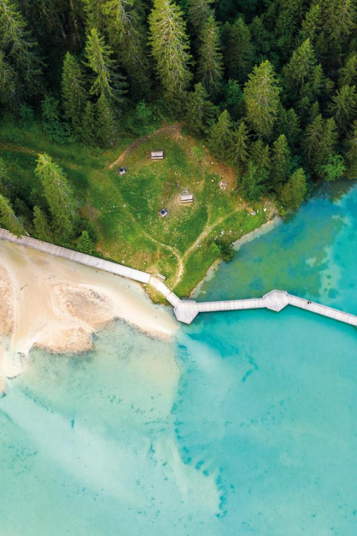
- Walk down to the lake and cross the footbridge to join the Botanical Trail.
- Turn left along the right bank of the lake to the Dent du Villard trailhead.
Hiking characteristics:
- Average duration: 4h35
- Total distance: 8.56 km (round trip)
- Elevation gain: 752 m
- Negative ascent: 762 m
- Return to start: Yes
- Difficulty: Difficult
- Maximum altitude: 2,332 m
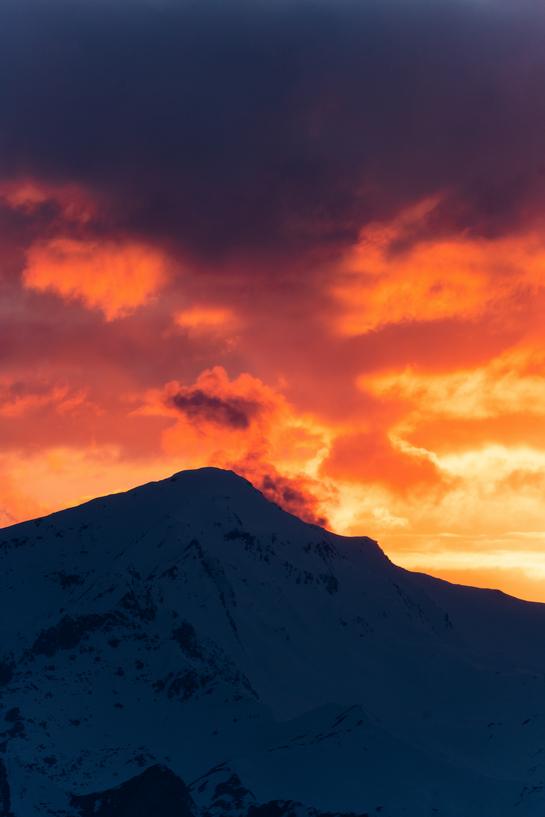
Ascent to the Dent du Villard summit:
Start the climb along the Sentier Botanique and follow the signs.
Cross a few large zigzags in the woods to reach a crossroads at elevation 1890.
Two options:
- To the right, the short, steep route.
- Straight ahead, the gentler route along the ridge.
After two switchbacks, turn left to reach the summit of Dent du Villard.
At the summit, take advantage of the orientation table, which offers an exceptional view of Mont Blanc.
Dent du Villard descent:
- Cross the Dent du Villard ridge to the Col de la Chal. Beware, this part can be impressive with its gypsum dissolution craters.
- Follow the path to the right, the descent is steep and slippery.
- Rejoin the Botanical Trail and return to the starting point.
The Dent du Villard promises an unforgettable experience with breathtaking views. Follow this itinerary to discover the wild beauty of Les 3 Vallées at sunset.

LA SAULIRE
La Saulire, with its spectacular panoramic views, is one of the best places to admire the sunset in Les 3 Vallées. At an altitude of 2740 meters, you'll marvel at the changing colors of the sky and the silhouette of the surrounding mountains. Here's everything you need to know to reach this unique vantage point and experience an unforgettable sunset.
Itinerary to reach La Saulire:
From Courchevel:
- Take the shuttle bus to the terminus at the "Courchevel" stop.
- Enter the Croisette and go to the snow front to take the Verdons gondola, then the Saulire cable car to the summit.
- If you're arriving by car, park in the covered La Croisette parking lot (free in summer) and drive directly to the snow front to take the lifts.
- From Méribel:
- Take the Pas du Lac gondola up to 2740 meters.
- Enjoy the 360° panorama before heading back down to Méribel-Mottaret or Méribel Centre.
La Saulire is a must for a sunset in Les 3 Vallées. Follow this itinerary to enjoy an unforgettable experience with breathtaking views. Whether you're coming from Courchevel or Méribel, the summit promises unforgettable memories.
COL DE LA LOZE
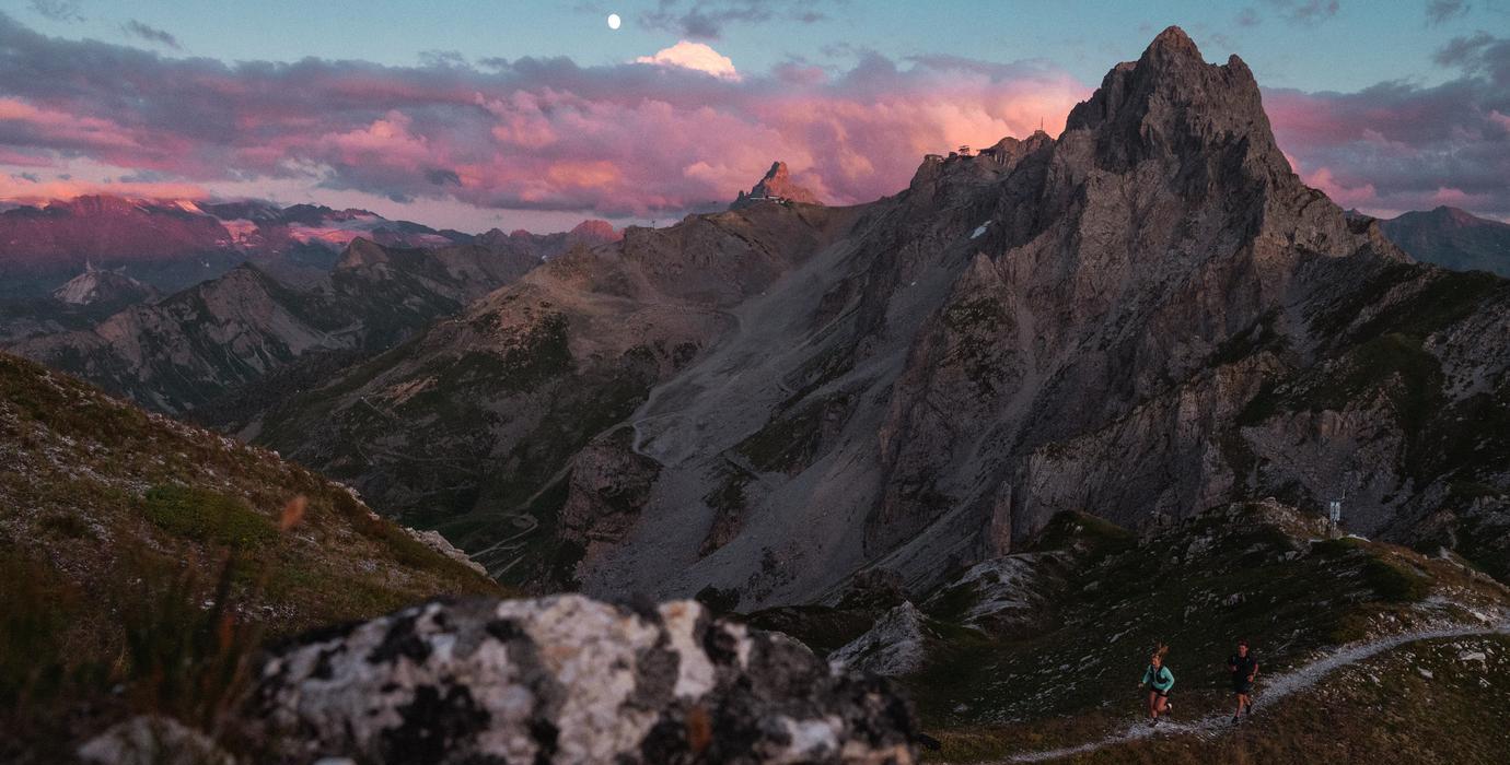
The Col de la Loze, at an altitude of 2305 metres, is one of the 3 Vallées' best places to watch a spectacular sunset in the French Alps. Whether you're coming from Courchevel or Méribel, this site offers breathtaking panoramic views of the surrounding mountains. Here's an itinerary to get there, and tips on how to make the most of this magical moment.
Itinerary to Col de la Loze
From Courchevel:
Take the Chenus gondola from La Croisette. On arrival, turn right along the Loze Est piste.
- At the arrival point of the Bouc Blanc chairlift, turn left up the connecting piste, keeping to the left.
- Cross the Lanches piste to join the footpath.
- Follow this path to the Col de la Loze, passing between the arrival of the Dou des Lanches chairlift and the Le 1928 restaurant.
- Return by the same route.
Hiking characteristics:
- Average duration: 1h15
- Total distance: 2.5 km (round trip)
- Maximum altitude: 2305 m
- Marked itinerary: Yes
- Elevation gain: 120 m
- Negative elevation gain: 120 m
- Difficulty: Fairly difficult
- Pedestrian pass required to reach the start.
From Méribel:
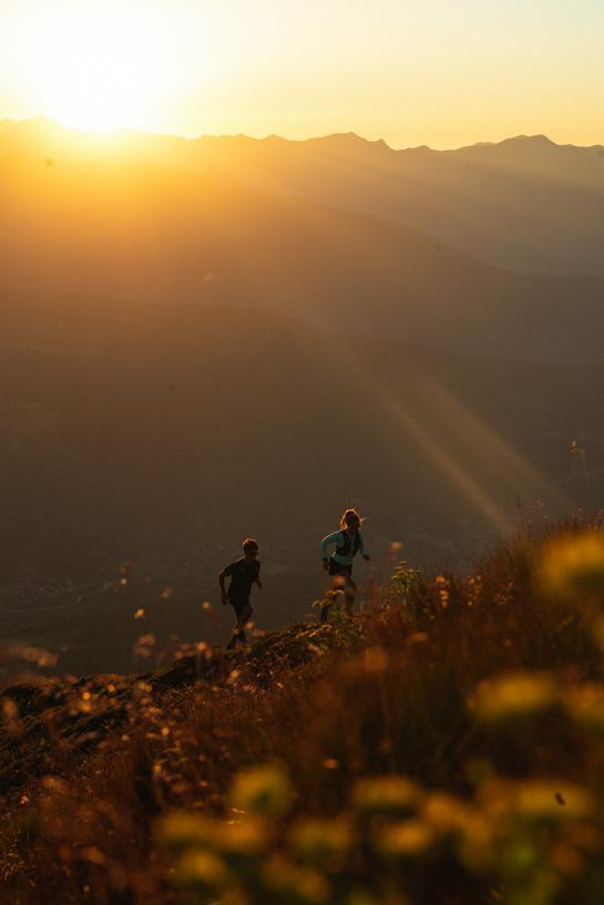
- From the Altiport, follow the footpath that twists and turns along the ridgeline between the communes of Les Allues and Saint-Bon.
- Arrive at the Col de la Loze, a mythical site that was the finishing point of a stage in the 2020 Tour de France.
Hiking characteristics:
- Cumulative elevation gain: 620 m
- Negative vertical drop: 620 m
- Maximum altitude: 2304 m
- Marked itinerary: Yes

If you continue a little further, you'll come across a beautiful orientation table. To reach it, simply continue past the restaurant.
Why Col de la Loze is ideal for sunsets?
- Breathtaking panorama: From the Col de la Loze, you have a breathtaking view of the surrounding peaks and valleys of Les 3 Vallées.
- Various activities: You can share the space with cyclists completing their ascent, or watch paragliders take off, adding to the dynamic atmosphere of the place.
- Rocher de la Loze: If you still have some energy left, continue hiking to the summit of Rocher de la Loze (2526 m), for even more spectacular views.
- Easy access: Thanks to the lifts, Col de la Loze is easily accessible from Courchevel and Méribel.
Col de la Loze is a wonderful place to enjoy a sunset in Les 3 Vallées. With easy access from Courchevel or Méribel, and breathtaking views, this spot is perfect for an unforgettable experience. Whether you go for the panorama or the unique atmosphere, Col de la Loze is sure to win you over.
LAC DE TÊTE RONDE VIA THE CIRCUIT DES LACS
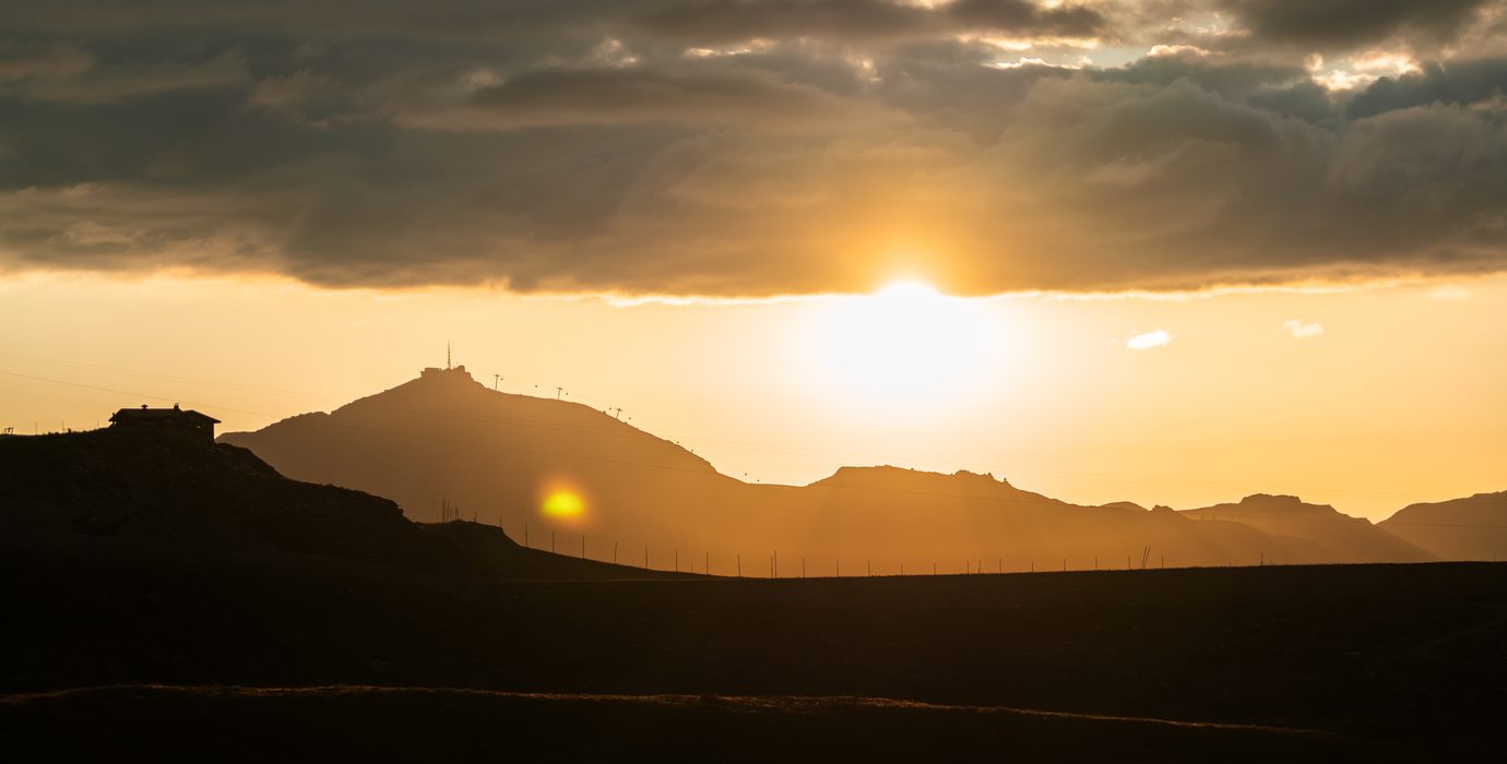
The Circuit des Lacs is a must-do hike in Val Thorens, offering spectacular alpine scenery and magnificent views, especially at sunset. This loop, which starts from the Slalom parking lot in Val Thorens, is ideal for an evening stroll and for watching the sky blaze with color over the mountains. Here's a detailed itinerary to help you make the most of this sunset tour.
Itinerary for the lakes circuit:
Starting point: Parking du Slalom in Val Thorens
Route description:

- Descend from the parking lot across the ski slopes and cross the footbridge over the torrent de Péclet.
- Continue on the path towards the combe de Thorens, past the Lac de Thorens, then wind up to a piste.
- Cross this track and follow the stony path to a fork. From here, wind up to Lac de la Portette at 2627 metres.
- Descend to the track following the rocky markings, cross the torrent, and continue down over wooden footbridges through several valleys.
- After skirting the summit of Tête Ronde, join a wide track overlooking Lac de Tête Ronde.
- Follow the track downhill to Lac de Tête Ronde. Continue along the lake and descend to the lower Lac de Tête Ronde, also known as Lac des Grenouilles.
- Locate the trail back to the resort.
Hiking features:
- Duration: 1h45 (round trip).
- Total distance: approx. 5 km.
- Elevation gain: ~300 metres.
- Difficulty: Easy to moderate.
- Maximum altitude: 2627 meters.
- Marked itinerary: Yes.
Why Lac de Tête Ronde is ideal for sunsets?
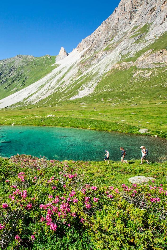
- Breathtaking scenery: The lakes circuit takes you through spectacular alpine scenery, with views of the surrounding peaks, mountain lakes and lush green valleys.
- Calm and Tranquil: Unlike other busy spots, Lac de Tête Ronde offers a peaceful place to enjoy the sunset, with few people and a serene atmosphere.
- Reflections on the lake: Lac de Tête Ronde acts like a mirror at sunset, reflecting the colors of the sky and creating magical views.
Lac de Tête Ronde, with its calm and splendid views, is an ideal spot to admire the sunset in Les 3 Vallées. By following this itinerary, you'll discover incredible scenery while enjoying the peaceful atmosphere of this lakes circuit. Prepare to be amazed by the beauty of the mountains at dusk.


